
When planning a ride, I generally don’t? I’ve been lucky to have tour guides (aka friends), when riding around a new place who take the lead on this. And if I haven’t got any helpful friends around I’ve paid tour guides for their local knowledge. This can become quite expensive if you’re planning on doing a lot of exploring and travelling around, there’s got to be another way right?
Maps… I struggle to follow them as much as I struggle to fold them. So when I was introduced to Komoot, an adventure mapping resource, I was more than intrigued if not a bit sceptical (due my lack of map knowledge).
So first things first, I decided that I wanted to ride in the Peaks, and that I wanted to ride from Hope, so Tuesday morning I got up, opened up Komoot on my laptop and planned my route!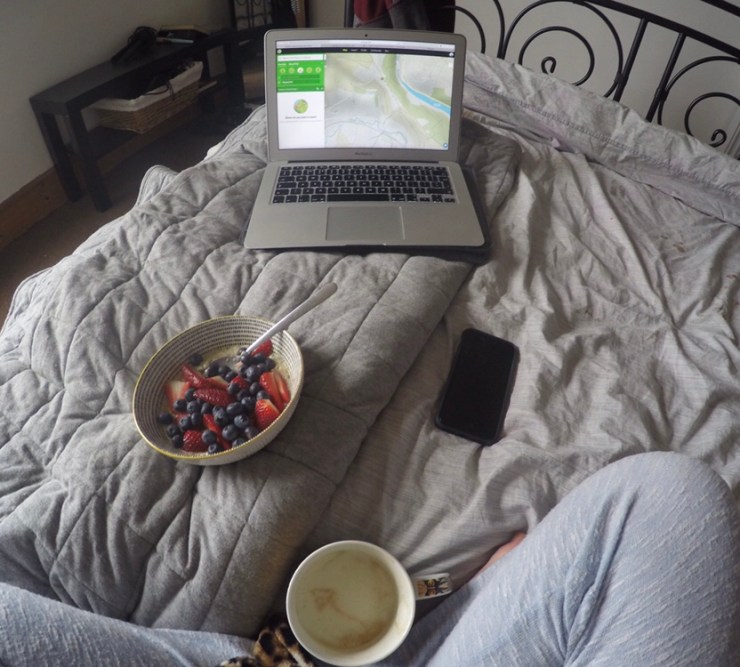
It was incredibly easy and quick to find where I wanted to ride and to make an interesting path to and from my set starting point and destination (Cafe Adventure). I also used a ‘Highlight’ to add to my ride, I’ll talk about these later. Komoot have a web page and a navigation app. You can easily plan routes on both, but I found it nicer to plan my route on my laptop and then use my phone for the navigation.
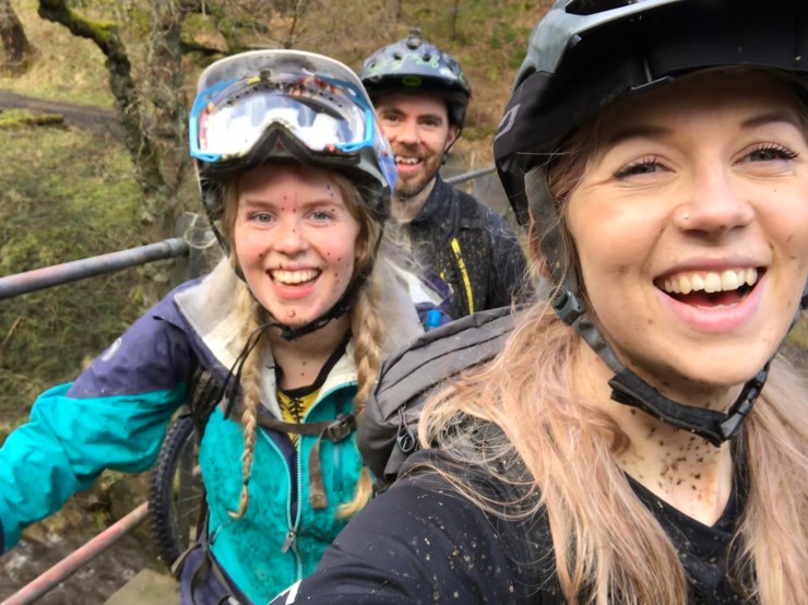
Route planned, app at the ready, I met up with my pals Rachel and Billy from Cafe Adventure and we were off. The navigation through the app was straightforward, and from the word go I was being directed just a like a Sat Nav on my ride.
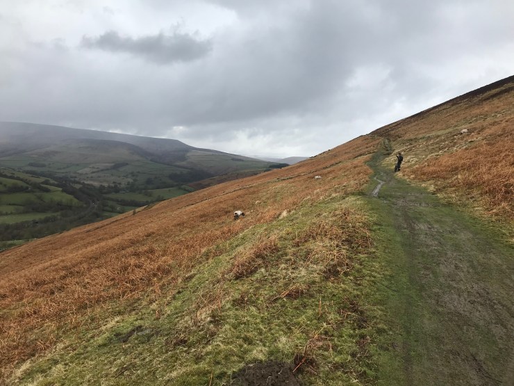
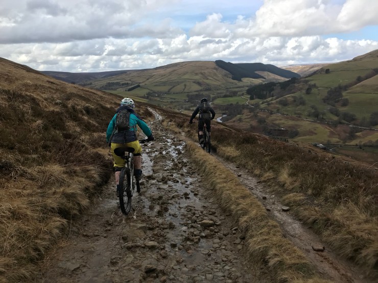
The first climb of the day was slippy, muddy and flippin’ hard work! But the views as always, made the slog worth it.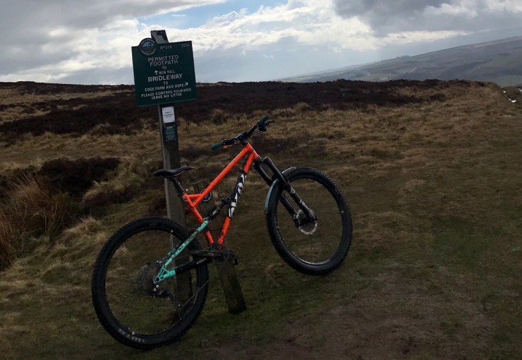 Once we made it to this point, the Komoot app had no trouble in pointing us in the right direction. We headed down the muddy wide bridleway trying to pick out the best rut free route down to Hope Cross.
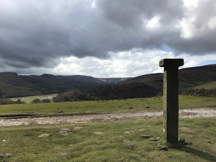
On the Komoot app you can take photos on your journey and also create Highlights, as I mentioned earlier. A ‘Highlight’ is basically what it says on the tin, a point in your ride that you’d like to share with others, whether it be a cool descent, nice climb, a sweet cafe, beautiful view point or an ideal selfie location. These highlights are really helpful when planning your route.
I made Hope Cross my first Highlight as it has stood there for hundreds of year and lies at the crossroads of important ancient packhorse routes though the Peak District, (googled that), also great place to have a selfie.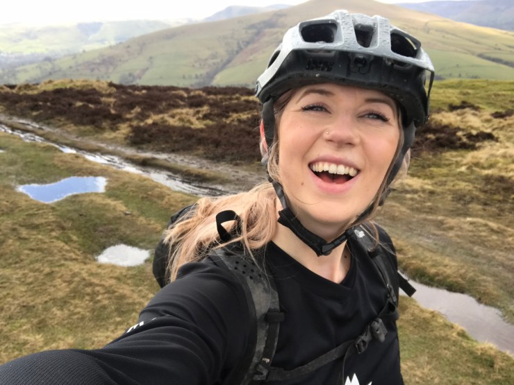
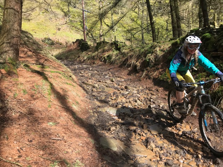
From there we headed to the top of Potato Alley. The trails were basically streams and there was a lot of laughing and dismounting of bikes when judging just how deep the small ponds were that had been formed along the way. We did also get nearly killed by a sassy Grouse, so watch out for him/her if you go for this route. Top of Potato Alley, I made my second Highlight- why wouldn’t you?
After a wild, bumpy ride down Potato Alley and a de-coat we were off up our penultimate climb, Komoot on the navigation. When planning your route on Komoot there is a cool interactive elevation profile, so you are made aware just when the lung busting will commence. I am getting used to climbs, but I’m still very very very pleased when they’re over, so when we made it to the top of Hagg Farm descent, I was more than happy to be descending and to pop on another highlight, because this trail is awesome. 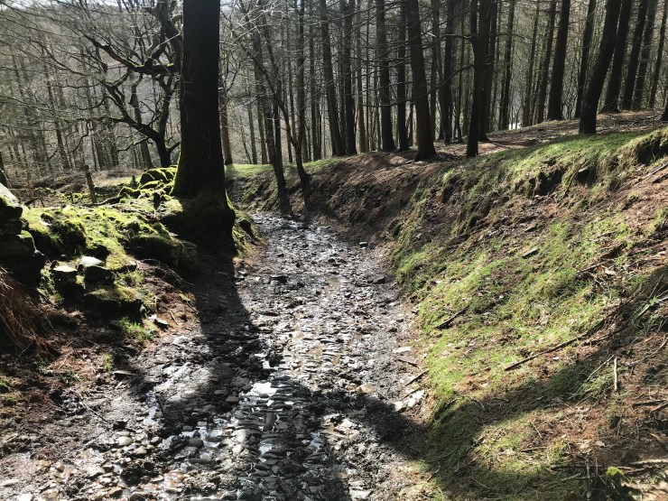
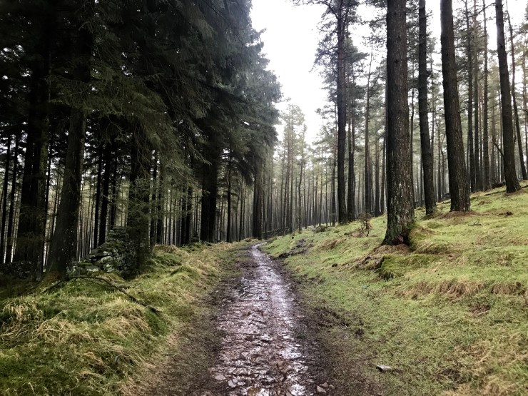
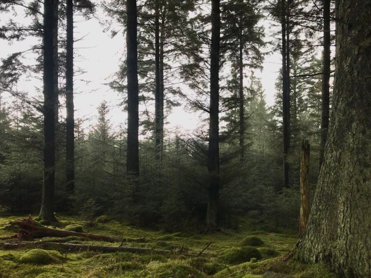
What was next was up, yes UP the beast (who does that)? But only for a little bit. 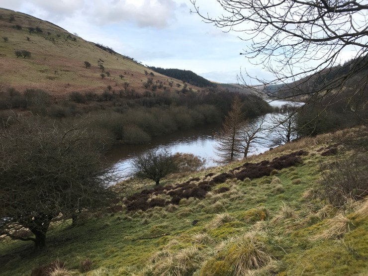 Along the reservoir and then onto a trail that is called something that I can’t put on here… so I’ll just call it SB Climb and let you figure it out. It’s totally worth the climb because at the top is my favourite woodland. It’s super mystical, with a nice rocky climb that rolls out onto sweet singletrack through the trees, moss covered rocks, mist and just YUM yanno? My kinda woodland.
Before we knew it we were up and out and back to the rut scattered bridleway.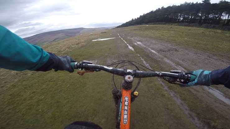 Posed for a photo, had a wild Trail bar and it was back down the Roman Road.
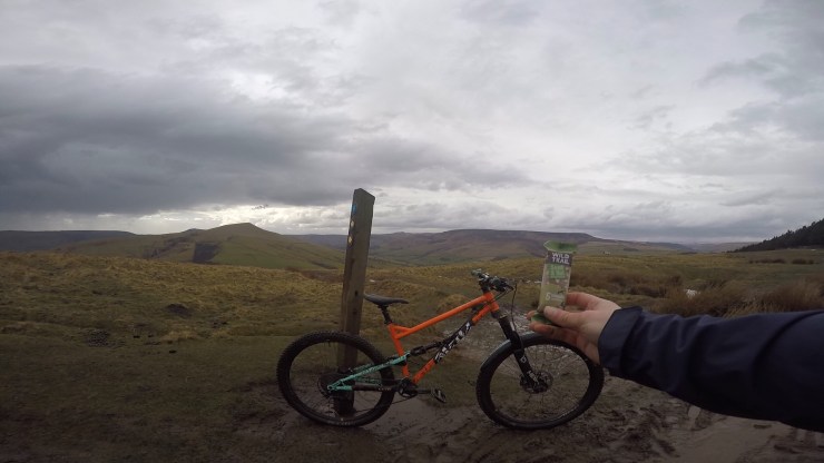 First Komoot tour completed with 6 Highlights along the way. You can follow my exact route here.
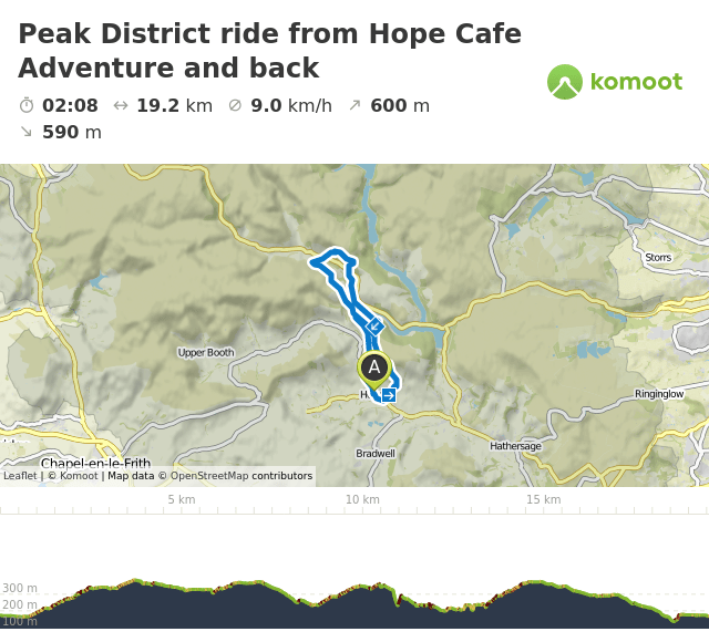
Komoot is subscription based and you can purchase different regions of the globe to map (the first region is free) or the whole globe is available for a one time fee, go check it out, I can’t wait for my next tour!

Rain or shine you make every ride look ‘fun’
LikeLike